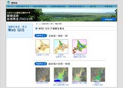
At the page of "Web GIS Topics," various GIS topics are prepared. Check those small pictures, and click on those which you want to see.
2. Learn the contents from expository writing and explanatory note.
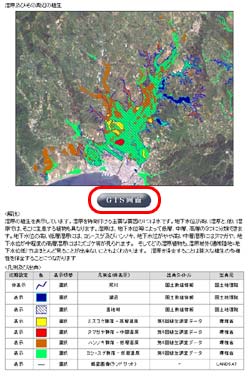
New window would be popped up, and you can find the larger picture of GIS map, expository writing, and explanatory note. As good introduction of the GIS topics, it is recommended to read through these although those are the only one way of understanding and does not mean those are all about the fact from this GIS map. What you can look and learn is perfectly up to you.
To start GIS map, click the sign of "GIS Map" shown below the GIS Map picture.
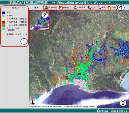
3.Understand the function of GIS Map.
1
Legend (or "Layer")
Explanatory note are shown here. You can click the icon located the most left on "tool bar" to chenhe Legend to Layer.
2
Overview
Overview of GIS map is shown here. You can click the icon located second from the left on "tool bar" to close this window.