| View Wetland by Aerial Photo | |||||||||||||||||||||||||
 |
|||||||||||||||||||||||||
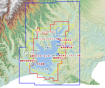
| <Description> Two aerial photos (1977 and 1993) and IKONOS pic (from 2000 to 2002) are accessible from this service. One of the purposes of this services are to offer high-level resolution pics in time-series for chronological comparison. (Broadband are strongly recommended for this service.) |
|||||||||||||||||||||||||
<Explanatory Note>
|
|||||||||||||||||||||||||